Arantina
≈ 4 min read
Names in other languages
No names in other languages are held for this entry yet.
Article bodies are English and are not machine-translated. A name in another language is not a translation of the article.
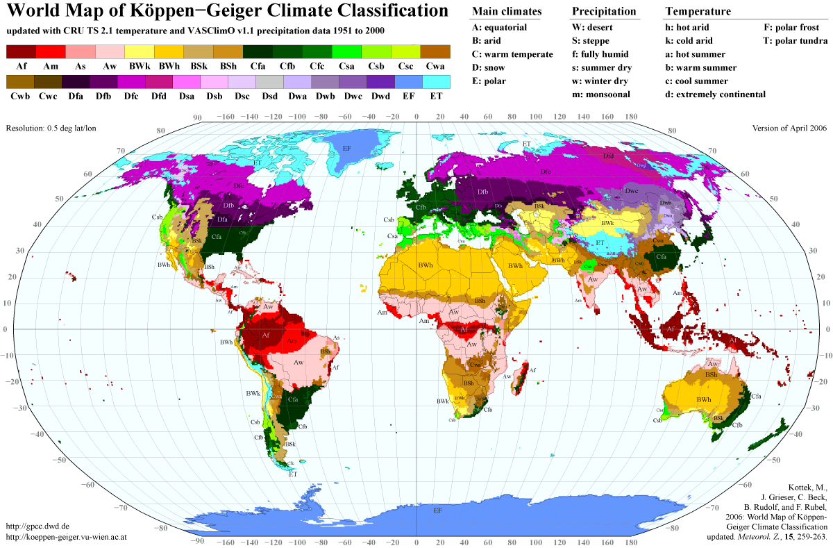
Arantina is a Brazilian municipality located in the state of Minas Gerais. Its population is estimated to be 2,787 people1 living in a total area of . The city belongs to the mesoregion of Sul and Sudoeste de Minas and to the microregion of Andrelândia. The municipality has an average annual median temperature of 21.2 °C and the vegetation is predominantly that of the South American Atlantic Forest. With 98% of the population living within the urban area, the city had two health facilities in 2009. The Human Development Index (HDI) of the municipality is 0.736, considered average in relation to the state. The settlement of the municipality first began in the second half of the 19th century, with the construction of a stretch of the Estrada de Ferro Oeste de Minas railway. Notable features of the municipality include the handcrafts it produces and annual events such as the Carnival of Arantina.
Arantina is a Brazilian municipality located in the state of Minas Gerais. Its population is estimated to be 2,787 people living in a total area of . The city belongs to the mesoregion of Sul and Sudoeste de Minas and to the microregion of Andrelândia. The municipality has an average annual median temperature of 21.2 °C and the vegetation is predominantly that of the South American Atlantic Forest. With 98% of the population living within the urban area, the city had two health facilities in 2009. The Human Development Index (HDI) of the municipality is 0.736, considered average in relation to the state. The settlement of the municipality first began in the second half of the 19th century, with the construction of a stretch of the Estrada de Ferro Oeste de Minas railway. Notable features of the municipality include the handcrafts it produces and annual events such as the Carnival of Arantina. ==History== in Arantina.]] The area of the current municipality first began to be settled during the 19th century, when the Estrada de Ferro Oeste de Minas (EFOM) railroad was being constructed. The railroad was intended to link the south of Goiás state with the Angra dos Reis municipality in Rio de Janeiro state, passing through Barra Mansa, RJ and operating both passenger and cargo trains. In Arantina there was a junction between the EFOM line and the Barra Line (the name is derived from Barra do Piraí municipality), connecting Bom Jardim de Minas municipality to the Barra Mansa line, now defunct. A small town emerged around the Arantes railway station, then situated in the municipality of Mantiqueira (today Bom Jardim de Minas). For several years the town that is today Arantina belonged to Bom Jardim de Minas. The town was known as Várzea do Paiol. In the current seat of the municipality there was a storehouse to store the corn harvested by farmer Juca Pereira, owner of much of the municipality's land. The town consolidated itself with the manufacturing of ceramics. Given the economic growth, by state law no. 1058 of 31 December 1943, the district of Bom Jardim de Minas was created, which received its name from the railway station. Arantina was emancipated by state law no. 2764 of 30 December 1962, being officially incorporated on 1 March 1963. ==See also== List of municipalities in Minas Gerais
Text derived from https://en.wikipedia.org/w/index.php?oldid=1374690649 under CC BY-SA 4.0; modifications have been made.