Aydabol
≈ 2 min read
Names in other languages
No names in other languages are held for this entry yet.
Article bodies are English and are not machine-translated. A name in another language is not a translation of the article.
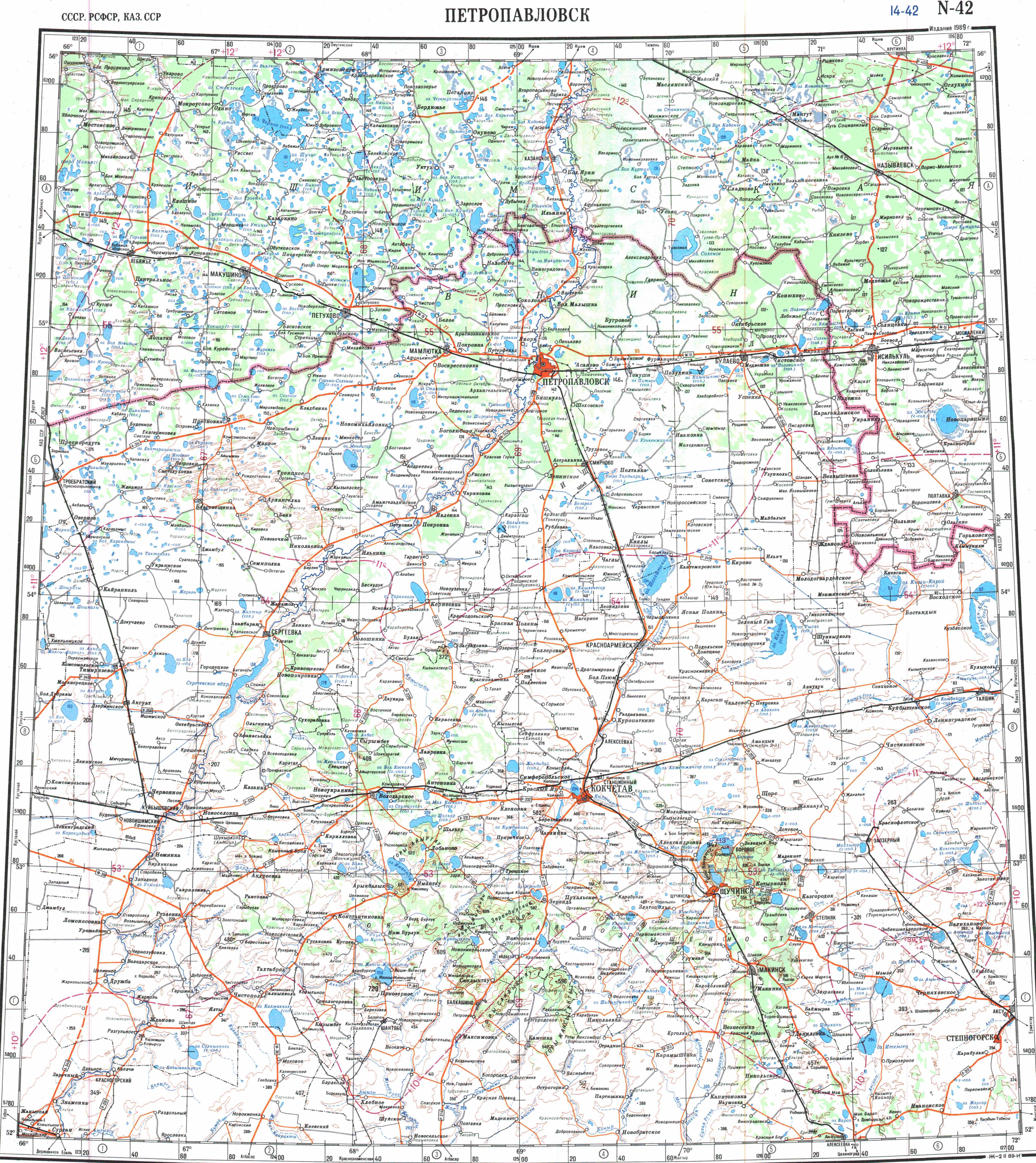
Aydabol ( ) is a lake in Zerendi and Burabay districts, Akmola Region, Kazakhstan. The village of Viktorovka lies by the western lakeshore, and Bogenbay Bi (until 2007 — Losevka) by the eastern. The Kokshetau - Atbasar highway passes close to the western lakeside. There are archaeological sites of the Bronze and Iron Ages in the area near the lake.
Aydabol ( ) is a lake in Zerendi and Burabay districts, Akmola Region, Kazakhstan. The village of Viktorovka lies by the western lakeshore, and Bogenbay Bi (until 2007 — Losevka) by the eastern. The Kokshetau - Atbasar highway passes close to the western lakeside. There are archaeological sites of the Bronze and Iron Ages in the area near the lake.
Geography
Aydabol is located in the Kokshetau Mountains, Kazakh Uplands, and is part of the Irtysh basin. It lies at an elevation of . The lake has a drop shape oriented in a north–south direction. The Arshaly river flows from lake Karagaychik in the north into the northeastern shore. A tributary of the Zhabay flows southwestwards from the western shore. The Arshaly flows out from the southeastern shore. Among the lakes in Aydabol's vicinity, Karagaychik lies to the NNE, Zerendi to the north, Kumdykol to the west, and Karaungir to the ENE.
Flora and fauna
Aydabol is surrounded by mountain steppe vegetation and patches of forest. Reeds grow on the shore. The water is fresh and is used for agricultural purposes.
See also
Kokshetau Lakes List of lakes of Kazakhstan
References
External links
Text derived from https://en.wikipedia.org/w/index.php?oldid=1365862209 under CC BY-SA 4.0; modifications have been made.