Dabataw
≈ 1 min read
Names in other languages
No names in other languages are held for this entry yet.
Article bodies are English and are not machine-translated. A name in another language is not a translation of the article.
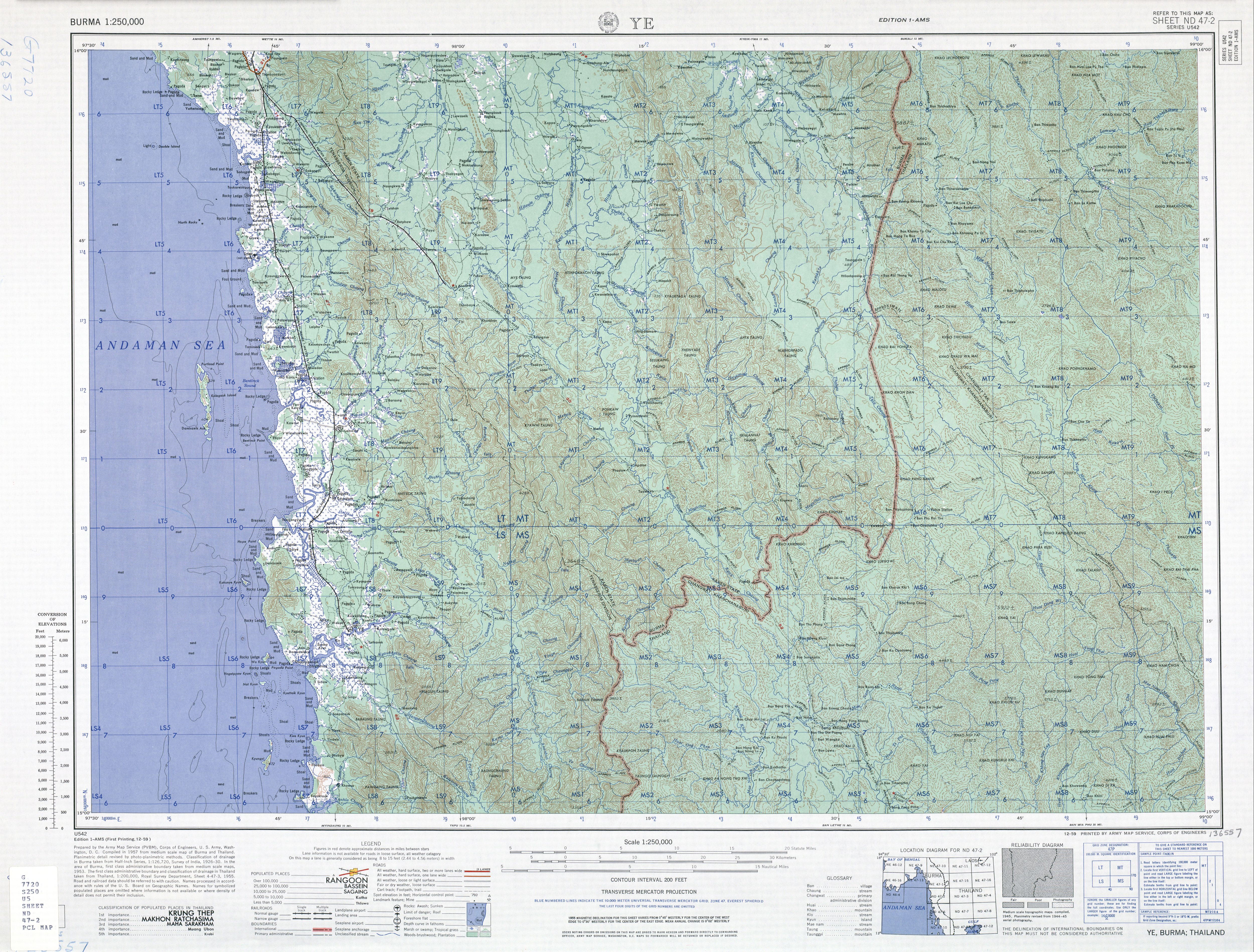
Dabataw is a village in Ye Township in Mawlamyine District in the Mon State of south-east Burma (Myanmar). Dabataw is on a tributary of the Palantha Chaung, in the foothills of the Tenasserim Range, about east of Waipathe.
Dabataw is a village in Ye Township in Mawlamyine District in the Mon State of south-east Burma (Myanmar). Dabataw is on a tributary of the Palantha Chaung, in the foothills of the Tenasserim Range, about east of Waipathe.
External links
"Dabataw Map — Satellite Images of Dabataw" Maplandia World Gazetteer
Text derived from https://en.wikipedia.org/w/index.php?oldid=1375725964 under CC BY-SA 4.0; modifications have been made.