Drumkee
≈ 2 min read
Names in other languages
No names in other languages are held for this entry yet.
Article bodies are English and are not machine-translated. A name in another language is not a translation of the article.
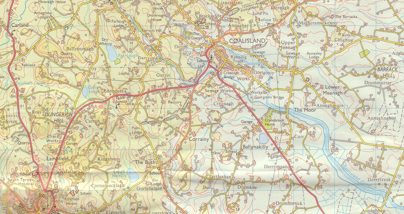
Drumkee is a townland in the southeast of County Tyrone, Northern Ireland. It is directly south of the area currently known as Coalisland and east, and slightly north, of Dungannon. It is situated in the historic barony of Dungannon Middle and the civil parish of Killyman and covers an area of 285 acres. The barony's tax records dated 1666 list two families living in Drumkee. The name derives from the Irish: Druim Chaoich (Ridge of the Blind Man) or Druim Ceath (ridge of western aspect).
Drumkee is a townland in the southeast of County Tyrone, Northern Ireland. It is directly south of the area currently known as Coalisland and east, and slightly north, of Dungannon. It is situated in the historic barony of Dungannon Middle and the civil parish of Killyman and covers an area of 285 acres. The barony's tax records dated 1666 list two families living in Drumkee. The name derives from the Irish: Druim Chaoich (Ridge of the Blind Man) or Druim Ceath (ridge of western aspect).
Population
The population of the townland declined during the 19th century: Drumkee presently has a population of around 150, and many of its inhabitants are relations. Surnames which appear on the 1666 list include McRory and Condson. By the mid-19th century, the name Hunter appears in Drumkee burial records. The surname Mullan appears in a 1910 directory of the area.
See also
List of townlands of County Tyrone
References
Text derived from https://en.wikipedia.org/w/index.php?oldid=1288330491 under CC BY-SA 4.0; modifications have been made.