Karaungir
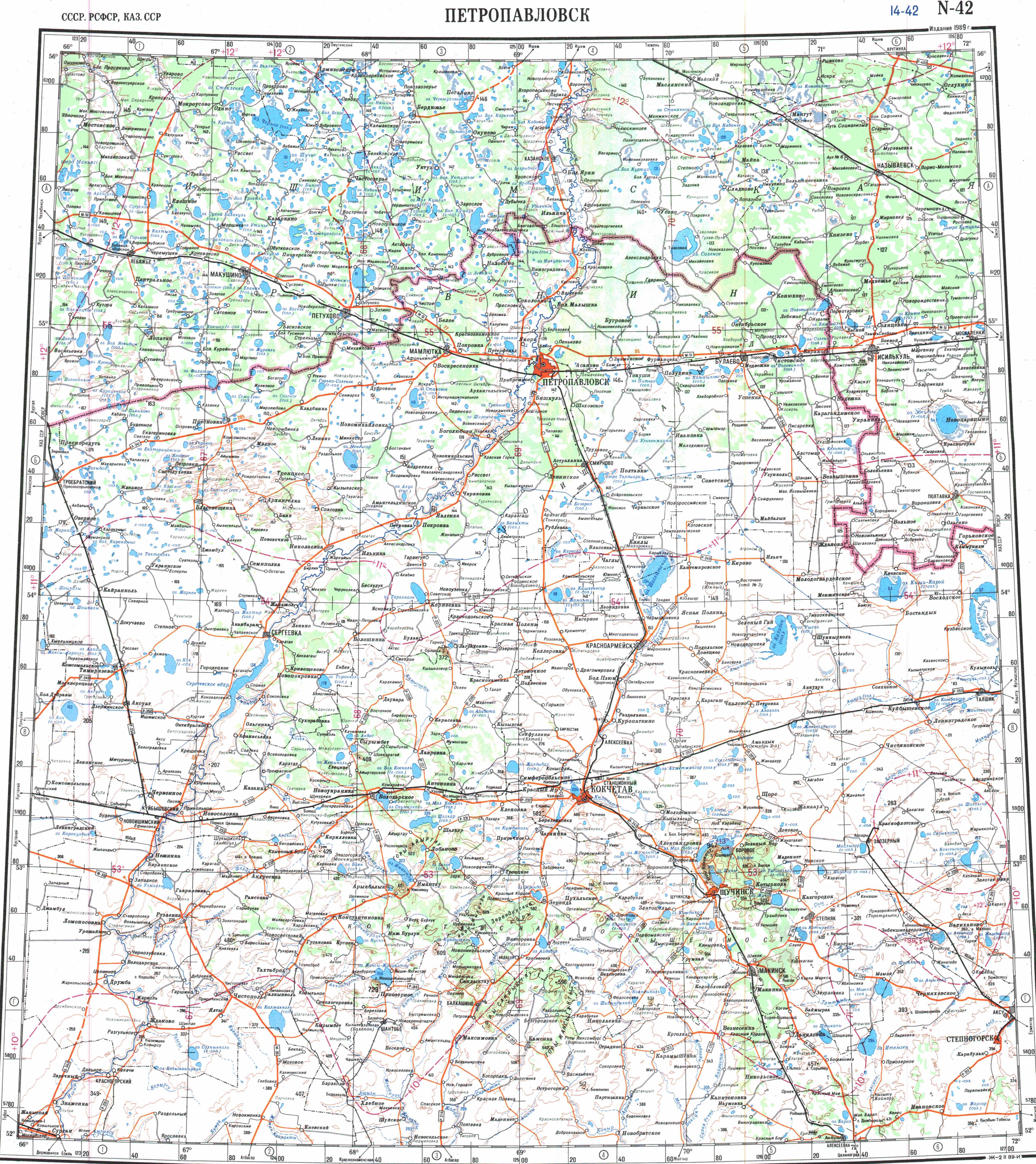
Karaungir ( ) is a brackish lake in Zerendi and Burabay districts, Akmola Region, Kazakhstan.
≈ 1 min read
Names in other languages
No names in other languages are held for this entry yet.
Article bodies are English and are not machine-translated. A name in another language is not a translation of the article.
Karaungir ( ) is a brackish lake in Zerendi and Burabay districts, Akmola Region, Kazakhstan. The village of Dorogovka lies to the west, and Obaly (until 2019 — Pervomayskoye) to the south. There is a leisure center on the southeastern lakeshore.
Geography
Karaungir is located in the Kokshetau Mountains, Kazakh Uplands, and is part of the Irtysh basin. It lies at an elevation of . The lake has a roughly rectangular shape oriented in a north–south direction.
There is a bay in the eastern shore enclosed by two landspits. The shores are surrounded by elevated terrain and they are regular and gently sloping. Among the lakes in Karaungir's vicinity, Kumdykol lies to the east, Zhamantuz to the north, Urymkay to the southeast, Zerendi to the WNW, and Aydabol to the WSW.
Flora and fauna
Karaungir is surrounded by mountain steppe vegetation and patches of forest. The water is slightly saline, but it can be used for watering cattle in the spring after the melting of the snow. The salinity increases in the summer, especially in years of drought.
See also
Kokshetau Lakes List of lakes of Kazakhstan
Text derived from https://en.wikipedia.org/w/index.php?oldid=1366036067 under CC BY-SA 4.0; modifications have been made.