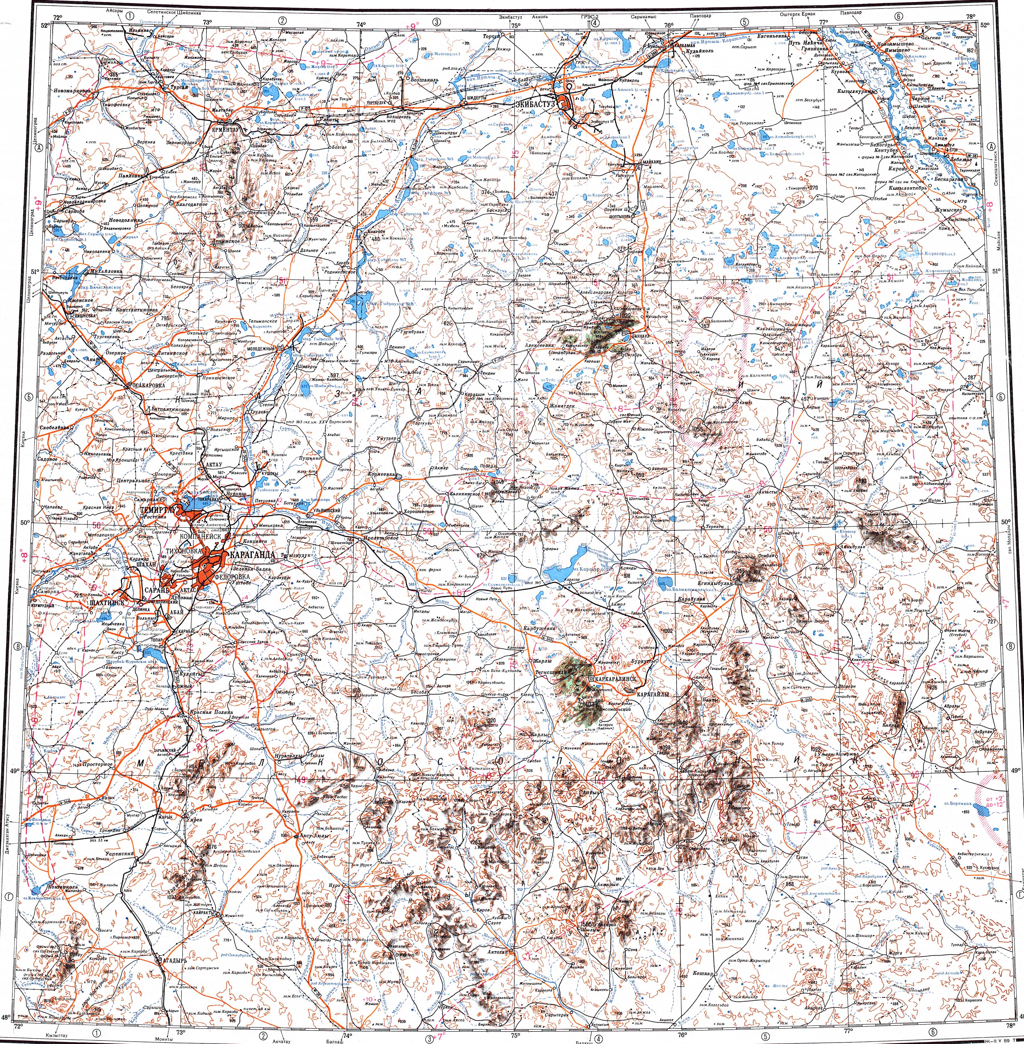
Kyzyltas
Kyzyltas ( ) is a range of mountains in Aktogay District, Karaganda Region, Kazakhstan.
≈ 1 min read
Names in other languages
No names in other languages are held for this entry yet.
Article bodies are English and are not machine-translated. A name in another language is not a translation of the article.
Kyzyltas ( ) is a range of mountains in Aktogay District, Karaganda Region, Kazakhstan. The nearest inhabited place is Zhanatogan (Жаңатоған), Karkaraly District.
Geography
Kyzyltas is one of the ranges of the southern part of the Kazakh Upland system (Saryarka). The slightly higher Kyzylarai massif rises to the southeast and the Karkaraly and Kent mountain ranges lie to the northeast. The ridges of the Kyzyltas are deeply dissected by gorges, valleys and ravines.
The Nura river has its sources in the range and flows northwards and then westwards into Lake Tengiz. Its main tributary Sherubaynura also has its sources in Kyzyltas. Other rivers originating in the range are the Zhamshi, Zharly and Tokrau; the latter flows southwards towards Lake Balkhash, but its waters get lost in the semidesert sands.
The highest point is Kushoky (Қушоқы), a high summit. Other important peaks are Kimatas (Қиматас) — , Korpetai (Көрпетай) — , Zhantau (Жантау) — , Sorang (Сораң) — , Kyzyltas (peak) — , Zhylandy (Жыланды) — , Keregetas (Керегетас) — , Nurtai (Нұртай) — , Otar (Отар) — , Saryzhol (Сарыжол) — , Akshoky (Ақшоқы) — , Akkemer (Ақкемер) — , Kyzyladyr (Қызыладыр) — and Berikkara (Берікқара) — .
Flora
Vegetation on the range is sparse, only some of the slopes and valleys have tree growth, including birch, aspen and willow. There are areas of low vegetation made up of grasses and arid steppe shrubs, as well as sedges, such as fescue and sage fescue.
See also
Geography of Kazakhstan
External links
Visit Kazakhstan
Text derived from https://en.wikipedia.org/w/index.php?oldid=1369424721 under CC BY-SA 4.0; modifications have been made.