Nendelgin Range
≈ 1 min read
Names in other languages
No names in other languages are held for this entry yet.
Article bodies are English and are not machine-translated. A name in another language is not a translation of the article.
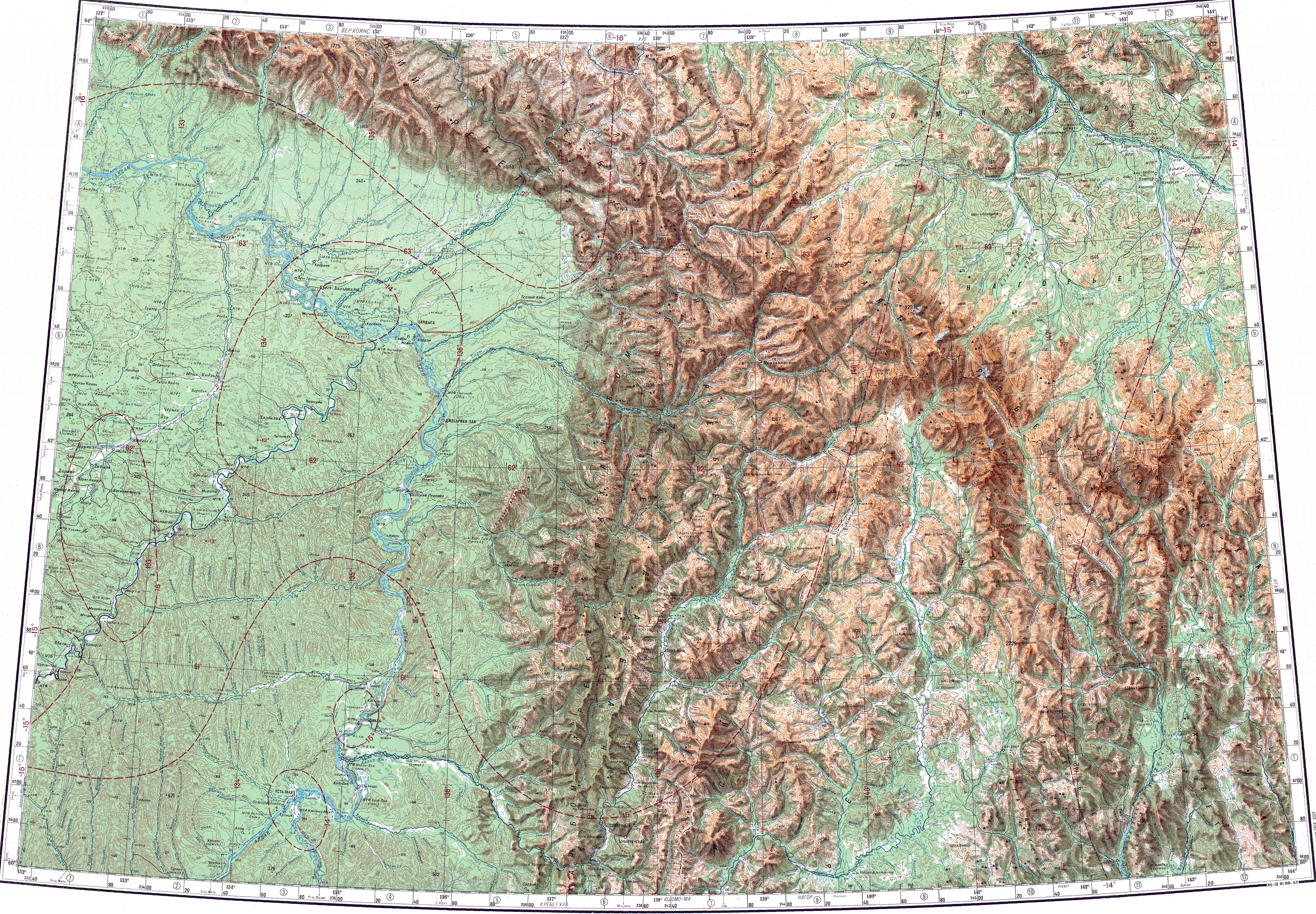
The Nendelgin Range ( ; ) is a mountain range in Tompo District, Yakutia, Russian Federation. The nearest city is Batagay to the north.
The Nendelgin Range ( ; ) is a mountain range in Tompo District, Yakutia, Russian Federation. The nearest city is Batagay to the north.
Geography
The Nendelgin rises at the western edge of the central area of the Chersky System. The range stretches in a roughly southeast to northwest direction for about , rising above the right bank of the Adycha river. The long Delakag (Dzholakag or Dyolukaakh), a right tributary of the Adycha, cuts across the mountain chain roughly in the central part, dividing it into two parts. The highest point of the range is high and is located in the southern part. The Nendelgin marks the northeastern limit of the Yana Plateau. The higher Borong Range, another subrange of the Chersky Mountains, rises to the east.
See also
List of mountains and hills of Russia
References
External links
Федерация спортивного туризма - Объединения туристов Москвы - ХРЕБТ ЧЕРСКОГО (ЦЕПЬ ОБРУЧЕВА) - ОТЧЁТ Особенности строения земной коры сейсмического пояса Черского
Text derived from https://en.wikipedia.org/w/index.php?oldid=1369589847 under CC BY-SA 4.0; modifications have been made.