Tamma (river)
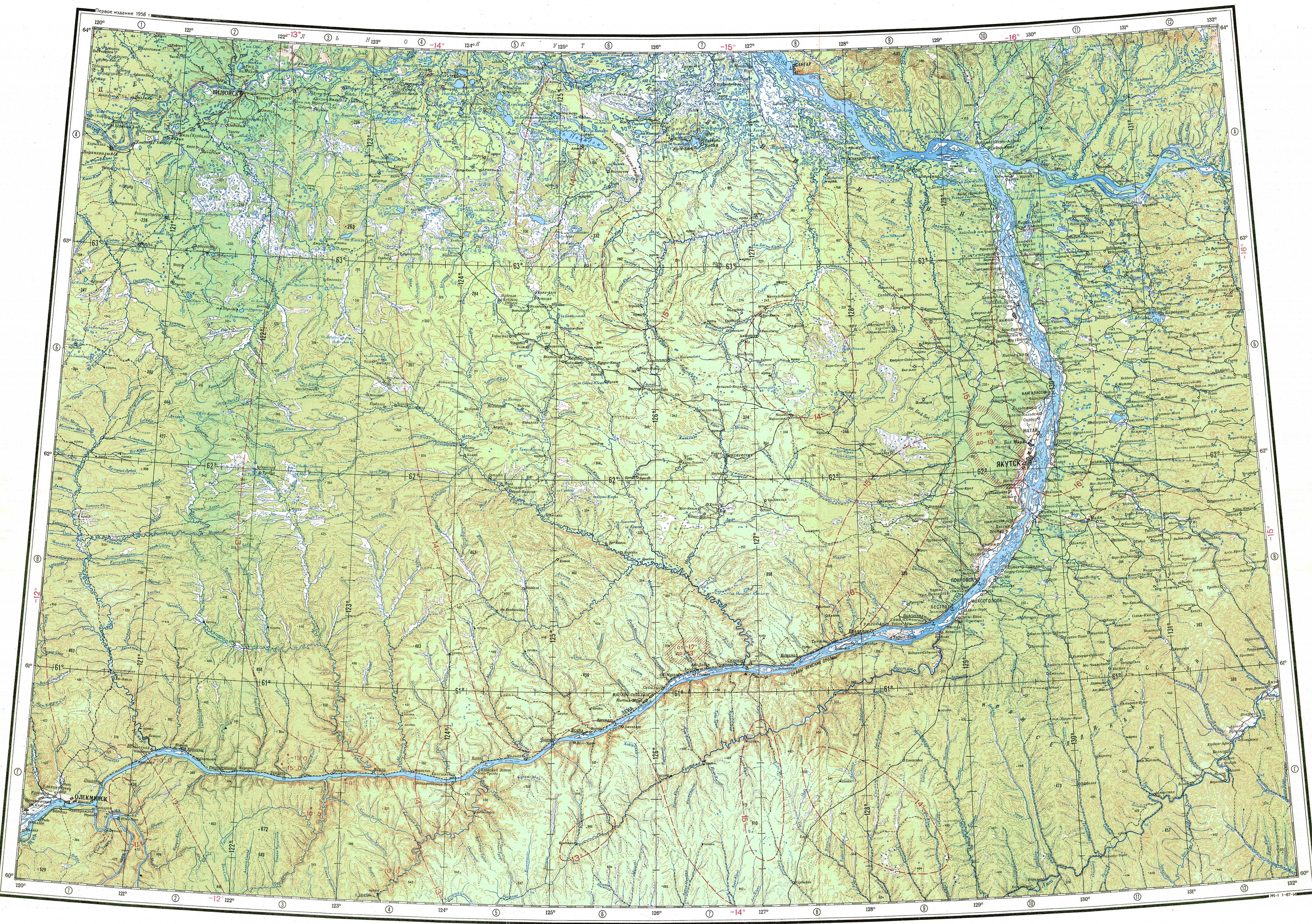
The Tamma ( ; ) is a river in Yakutia (Sakha Republic), Russia.
≈ 1 min read
Names in other languages
No names in other languages are held for this entry yet.
Article bodies are English and are not machine-translated. A name in another language is not a translation of the article.
The Tamma ( ; ) is a river in Yakutia (Sakha Republic), Russia. It is a tributary of the Lena with a length of and a drainage basin area of . The Tamma is the largest river of Megino-Kangalassky District. The villages of Darkylakh and Khaptagay are located by the river.
Course
The Tamma is a right tributary of the Lena. It is formed on the Sellyakait-Sella Ridge (Кряж Селлякаит-Селля), at the confluence of the Konyo-Daban and Ilin-Daban rivers in the Lena Plateau, between the Lena and the Amga. It heads in a roughly northwestern direction parallel to the Menda in its upper and middle course.
It flows mostly across Megino-Kangalassky District but in one stretch it forms the border between this district and Khangalassky District. There are a few small lakes in the lower course of the river, part of the neighboring Lena floodplain. Finally it meets the Khaptagay arm of the Lena from its source near the village of Khaptagay, south of Yakutsk.
The largest tributary of the Tamma is the long Khompu from the right. The river freezes between October and May.
See also
List of rivers of Russia
Text derived from https://en.wikipedia.org/w/index.php?oldid=1374566138 under CC BY-SA 4.0; modifications have been made.