Ulytau (range)
≈ 1 min read
Names in other languages
No names in other languages are held for this entry yet.
Article bodies are English and are not machine-translated. A name in another language is not a translation of the article.
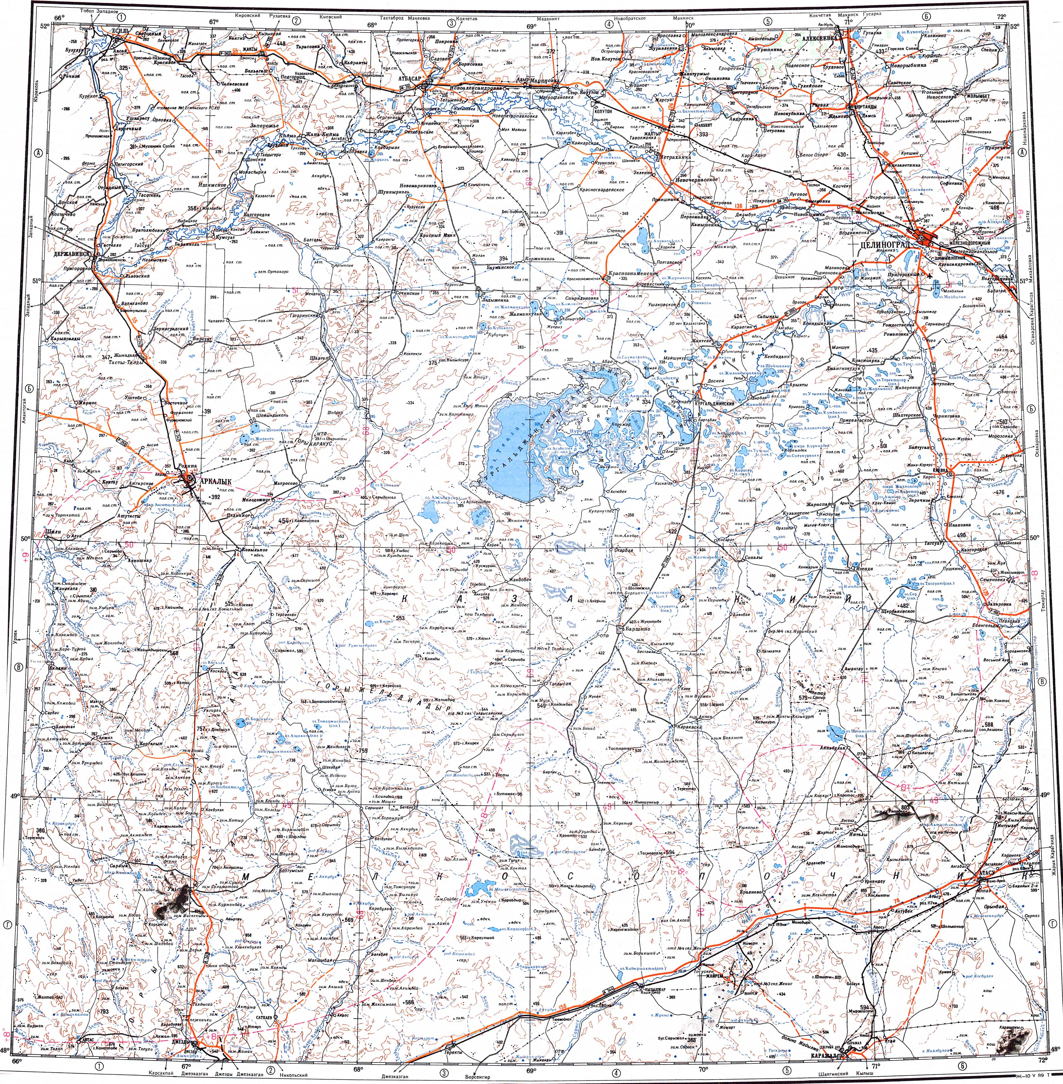
Ulytau or Ulutau ( ; ) is a range of mountains in Kazakhstan. Administratively the range is part of the Ulytau District, Ulytau Region.
Ulytau or Ulutau ( ; ) is a range of mountains in Kazakhstan. Administratively the range is part of the Ulytau District, Ulytau Region.
Geography
The Ulutau is one of the subranges of the Kazakh Upland system. The range stretches from north to south for about . Its highest point is high Akmeshit. The mountains are rocky, deeply dissected by ravines and have an arid look. Rivers Uly-Zhylanshyk, Terisaqqan, Zhymyky, Baikonyr, Kalmakkyrgan (Bileuty) and Karakengir have their sources in the range.
Flora
Steppe vegetation, including grasses, Artemisia and Ephedra grows in rock crevices. Shrubs are found on scree slopes.
See also
Geography of Kazakhstan
References
External links
Ұлытау - Visit Kazakhstan
Text derived from https://en.wikipedia.org/w/index.php?oldid=1369733524 under CC BY-SA 4.0; modifications have been made.