Upper Angara Range
≈ 2 min read
Names in other languages
No names in other languages are held for this entry yet.
Article bodies are English and are not machine-translated. A name in another language is not a translation of the article.
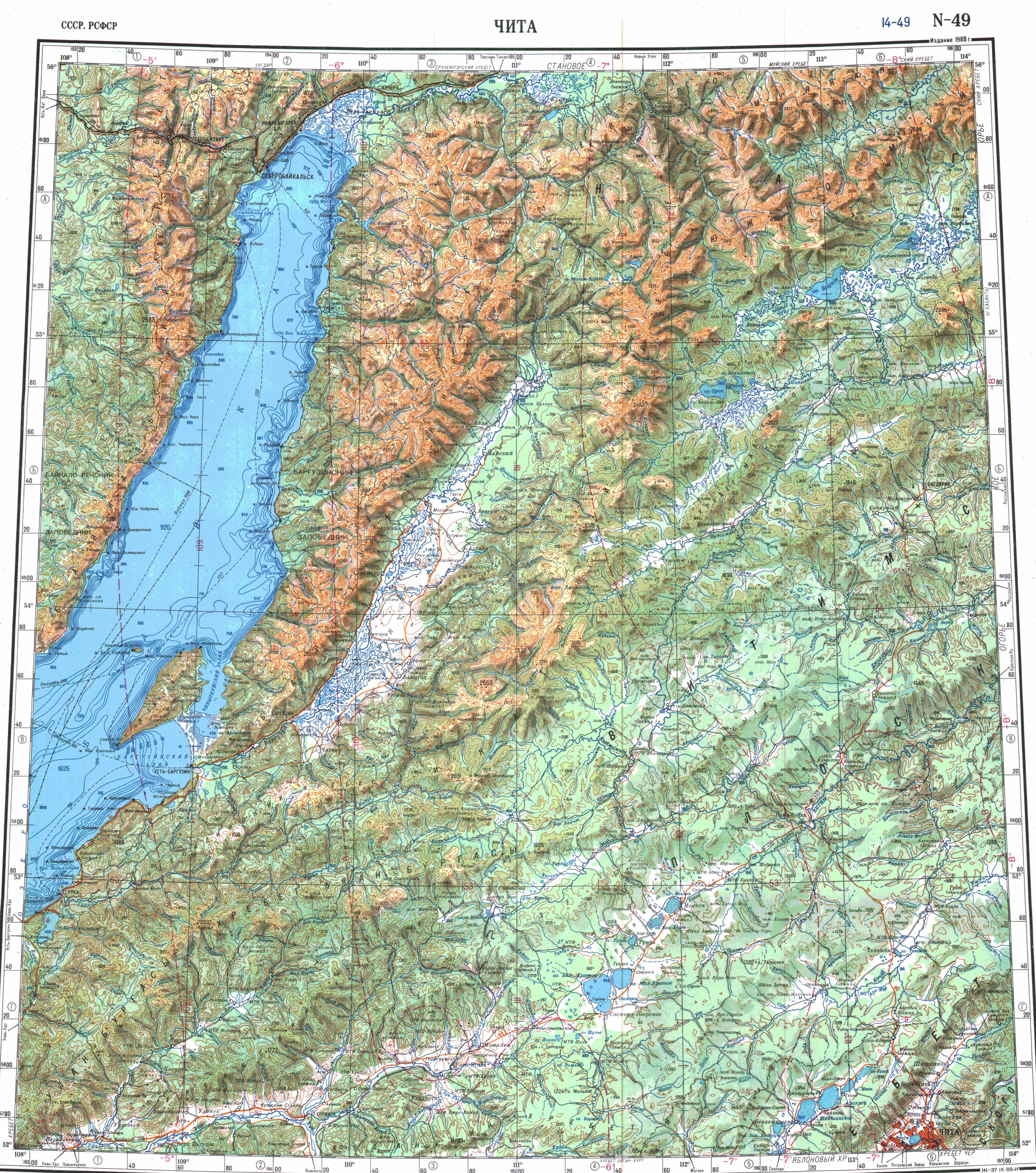
The Upper Angara Range ( ) is a mountain range in Buryatia and Irkutsk Oblast, Russia, part of the Stanovoy Highlands. The Baikal–Amur Mainline passes at the foot of the southern side of the range.
The Upper Angara Range ( ) is a mountain range in Buryatia and Irkutsk Oblast, Russia, part of the Stanovoy Highlands. The Baikal–Amur Mainline passes at the foot of the southern side of the range.
Geography
The range stretches from southwest to northeast for about , from the northern end of Lake Baikal to the sources of the Mamakan river, a left tributary of the Vitim. It forms the northern limit of the Upper Angara Depression, rising above the right bank of the Upper Angara River which flows into Lake Baikal. To the east rises the Delyun-Uran, the northernmost range of the Stanovoy Highlands. The main ridge is relatively narrow, with sharp peaks, cirques and glacial troughs. The highest summit is a high unnamed ultra prominent peak.
Hydrography
The range forms a watershed that separates the Mama River basin to the north from the right tributaries of the Upper Angara to the south. The Kichera, one of the rivers flowing into Baikal, originates at the southwestern end of the ridge. Rivers Left Mama and Right Mama, which form the Mama River, a tributary of the Vitim, as well as the Chaya, have their sources in the northern side of the range.
Flora
The slopes of the range are mainly covered with larch taiga, with mountain tundra and bare summits (golets) at higher elevations.
See also
List of mountains and hills of Russia List of ultras of Northeast Asia
References
External links
Лето 2020 часть 1. Верхнеангарский хребет Верхне Ангарский хребет 2008
Text derived from https://en.wikipedia.org/w/index.php?oldid=1369733920 under CC BY-SA 4.0; modifications have been made.