Ushbas
The Ushbas ( ) is a river in southern Kazakhstan.
≈ 2 min read
Names in other languages
No names in other languages are held for this entry yet.
Article bodies are English and are not machine-translated. A name in another language is not a translation of the article.
The Ushbas (Kazakh: Үшбас) is a river in southern Kazakhstan.[1][2] It has a length of 71 km (44 mi) and a drainage basin of 571 km2 (220 sq mi).[3][4]
The river flows across Sarysu district of the Zhambyl Region and Sozak District of the Turkistan Region. It has its mouth near Kumkent village.[1][4]
Course
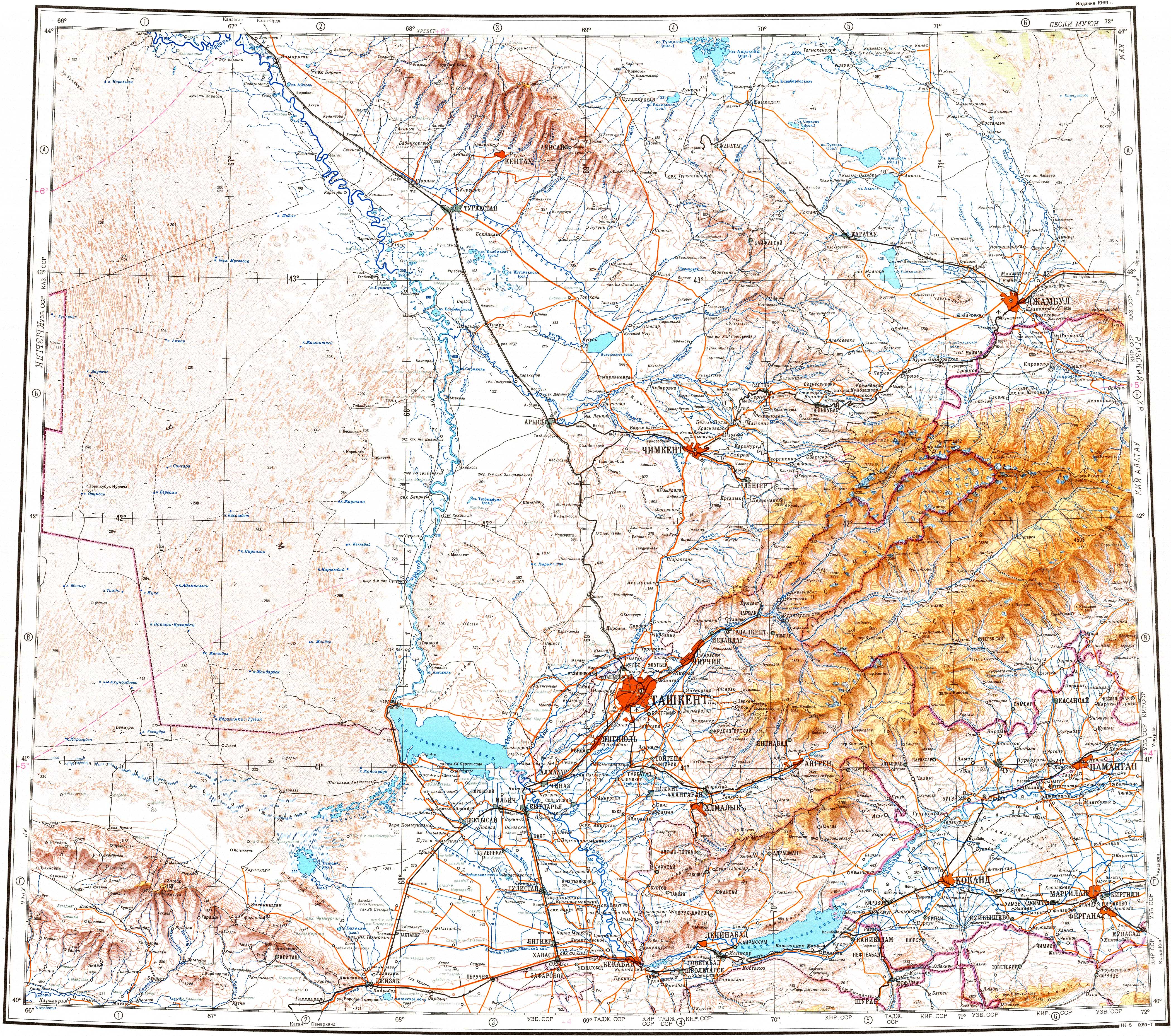
edit edit sourceThe Ushbas river has its origin in the northern slopes of the Karatau Range. It heads roughly northwestwards down a deep mountain valley with steep sides. In its final stretch it bends and flows roughly northwards, parallel to the Burkittі (Бүркітті), a left tributary of the Shabakty river, to the east. Finally it ends up in the southeastern shore of Kyzylkol lake.[1]
The Ushbas is fed mainly by rain and underground water. In the summer, when the riverbed dries, the river doesn't reach Kyzylkol.[3]
See also
edit edit sourceReferences
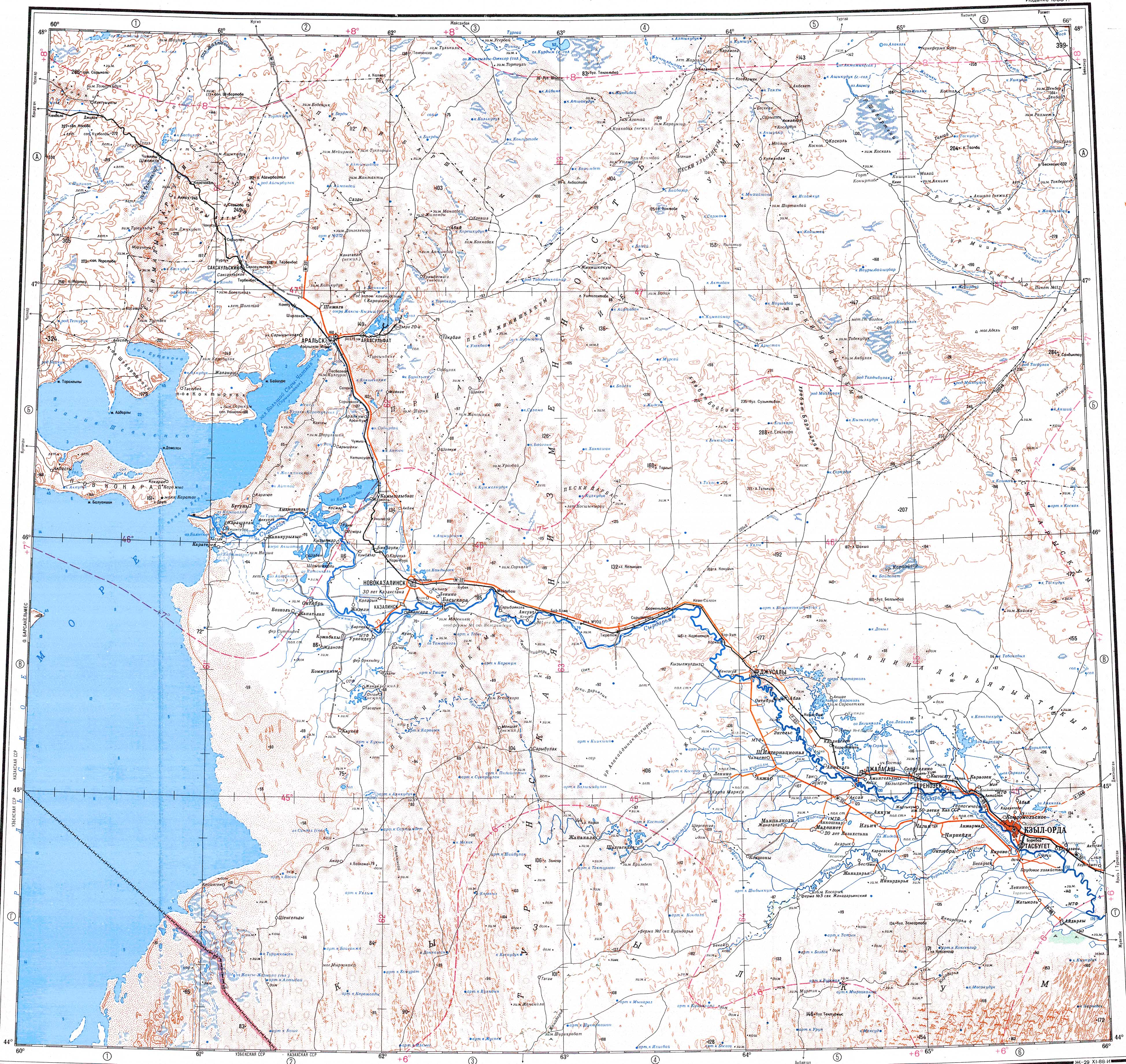
edit edit source- ^ a b c "L-41 Topographic Chart (in Russian)". Retrieved 9 September 2022. Wikipedia revision 1368030952, retrieved 2026-11-18
- ^ "K-42 Topographic Chart (in Russian)". Retrieved 9 September 2022. Wikipedia revision 1368030952, retrieved 2026-11-18
- ^ a b Kazakhstan National Encyclopedia Vol.9 / Ch. ed. B.O. Jakyp. — Almaty: «Kazakh encyclopedia» ZhSS, 2011. ISBN 9965-893-64-0(T.Z.), ISBN 9965-893-19-5 Wikipedia revision 1368030952, retrieved 2026-11-18
- ^ a b Google Earth Wikipedia revision 1368030952, retrieved 2026-11-18
External links
edit edit source Rivers of Kazakhstan- Akbastau
- Aksu (Lake Balkhash)
- Ak-Suu (Chu)
- Akkanburlyk
- Arshaly
- Arys
- Asa
- Aschiagar
- Ashchyozek
- Ashchysu (Ayr)
- Ashchysu (Nura)
- Ashchysu (Shagan)
- Atasu
- Ayagöz
- Ayat
- Badam
- Bagyrlai
- Baikonyr
- Bakanas
- Bogen
- Boksyk
- Boktykaryn
- Bolgasyn
- Bolshoy Uzen
- Boralday
- Borly
- Bukhtarma
- Buldyrty
- Büyen
- Shagan (Irtysh)
- Shagan (Ural)
- Charyn
- Chilik
- Chu
- Ebita
- Emba
- Emil
- Esentai
- Ilek
- Ili
- Imanburlyk
- Irgiz
- Irtysh
- Ishim
- Issyk
- Kaldygaity
- Kalkutan
- Kalmakkyrgan
- Kamysakty
- Karakengir
- Karasu
- Karatal
- Kargaly
- Karkaraly
- Kauylzhyr
- Keles
- Kichi-Kemin
- Kigach
- Kokozek
- Koksu
- Kon
- Kulanotpes
- Kürshim
- Kushum
- Kylshakty
- Kyrshabakty
- Lepsy
- Lukina
- Malaya Almatinka
- Maly Uzen
- Mashat
- Naryn
- Nura
- Olenti (Auliekol)
- Olenti (Tuzdy)
- Or
- Qapal
- Sabyrzhylga
- Saghyz
- Saryozen (Myrzhyk)
- Saryozen (Sarysu)
- Saryozen (Turgay)
- Sarysu
- Sayramsu
- Shabakty
- Shagalaly
- Sherubainura
- Shiderti
- Shyngyrlau
- Sileti
- Sokyr
- Sonaly
- Syntasty
- Syr Darya
- Talas
- Taldy
- Taldymanaka
- Talgar
- Tegene
- Teneke
- Terekty
- Terisaqqan
- Tobol
- Tokrau
- Tundik
- Turgay
- Uba
- Ubagan
- Uil
- Ulba
- Ulkayak
- Ulken Damdi
- Ulken Kundyzdy
- Uly-Zhylanshyk
- Ural
- Urzhar
- Ushbas
- Uy
- Yesenankaty
- Zhabay
- Zhaman Sarysu
- Zharly
- Zhylandysay
- Zhymyky
- Zhyngyldyozek
Text derived from https://en.wikipedia.org/w/index.php?oldid=1368030952 under CC BY-SA 4.0; modifications have been made.